Climate warming inevitably leads to rising sea levels. But no one knows how quickly they will rise or by how much. Much depends on how glaciers behave. Martin Jakobsson is enlisting the help of AI to predict developments more accurately.
Martin Jakobsson
Professor of Marine Geology and Geophysics
Wallenberg Scholar
Institution:
Stockholm University
Research field:
The marine cryosphere, marine geophysical mapping
In early August 2024 the icebreaker Oden sets course for northern Greenland for the third time on a research expedition. Jakobsson is one of those heading the project. His main aim is to map the bottom of Victoria fjord in Greenland.
Oden may be the first ship ever to enter the ice-filled and inaccessible fjord. But this does not deter Jakobsson, who has spent nearly two years of his time as a researcher at sea.
“During the 2019 expedition we were the first vessel ever to enter the fjord where the Ryder glacier meets the sea. We now have our sights set on the next unexplored fjord – Victoria fjord, where the C.H. Ostenfeld glacier reaches the water’s edge.”
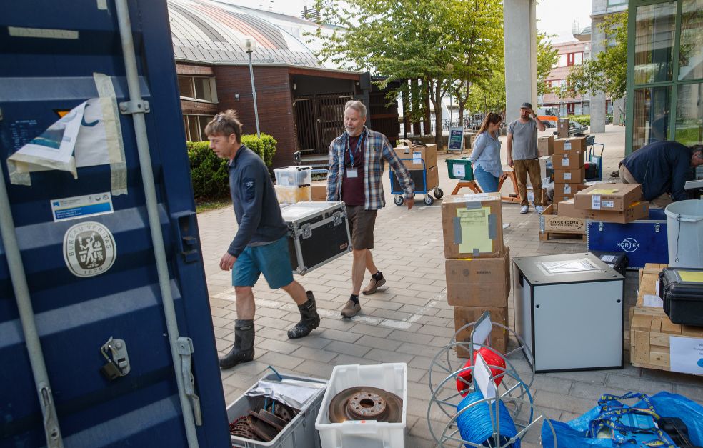
Also on board are some 40 researchers from ten universities and research institutions in Sweden, the U.S., Denmark, Australia and Switzerland. During a few hectic days in early summer all the equipment they would be taking with them on their trip was packed up.
Mapping every ocean
The expedition has multiple aims. Mapping the bottom of the fjord is part of the Seabed 2030 project, whose astonishing goal is to map all the world’s sea beds by 2030.
“At present we have mapped about 26 percent. The aim of reaching the goal by 2030 is more of a vision than a target. All information is gathered in an open database for everyone to use.”
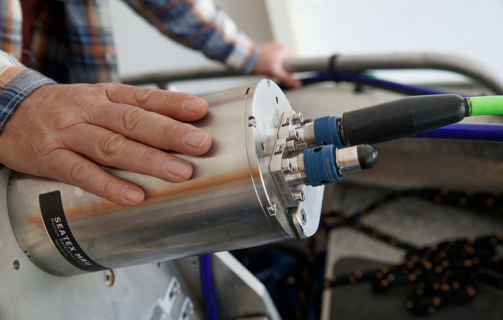
The maps are based on images recorded using an advanced sonar device called a multibeam echosounder. This enables the team to obtain a three-dimensional image of the seabed. Oden’s echosounder was installed as far back as 2007, thanks to funding from Knut and Alice Wallenberg Foundation and others.
“That funding helped to make Sweden one of the leading nations in the field of seabed mapping in ice-covered waters,” Jakobsson says.
Tracing the movements of glaciers
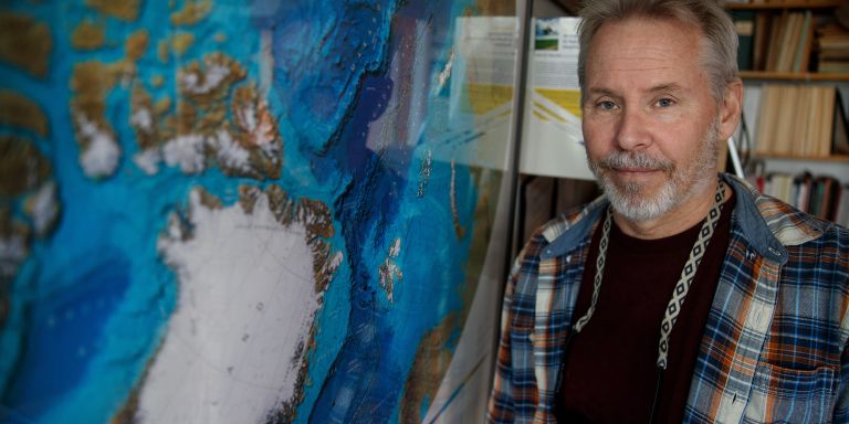
The underwater images from Greenland clearly show tracks made by the ice as it moves across the seabed. Together with colleagues, Jakobsson produced an Atlas of Submarine Glacial Landforms. The atlas was first published by others in 1997; it is the latest edition from 2016 Jakobsson was involved in, which has high-definition images from multibeam echosounders. The pages are filled with images that have been processed to highlight various formations in different colors. Ice movements have created furrows as well as undulating ridges and depressions in the seabed.
The researchers have correlated tracks in the seabed with unique movements of glaciers, among other things by using satellite images that show the annual extent of the glaciers. These tracks can then be used as a code key to discern how the glaciers have developed during historical changes in climate. This information can then play a key role in improving current ice models.
“The main uncertainty in current models is in their treatment of marine glaciers. Changes in those glaciers can happen very quickly indeed. The rate of change depends on factors including the shape of the ice, the state of the seabed and the impact of various sea currents. All these factors impact the extent to which ice is degraded.
He shows examples of how seabed mountain formations impact development of the Ryder glacier in Greenland. The mountain poses an obstacle, preventing warmer water from reaching the glacier and melting it from underneath. There is no such obstacle protecting the nearby Petermann glacier, which recently lost an area one-third the size of Öland, i.e. about 450 km2. This was revealed by the researchers following their most recent expedition on Oden in 2019.
Better ice models
Knowledge about changes in glaciers may make it easier to predict how quickly sea levels will be impacted by climate change. Examining the underwater images manually is an extremely time-consuming process, however.
“But there are systemic features of the tracks that render them ideal for interpretation using an AI method like machine learning. But first we have to teach the system so that it correctly interprets every element.”
As a Wallenberg Scholar, Jakobsson is training machine learning algorithms, both from images gathered during the Oden expeditions, and from international initiatives such as Seabed 2030. The work is highly interdisciplinary.
“We have the keys to interpret the tracks seen in the images, but we need the help of experts in information management and AI.”
As well as illustrative atlases, the researchers have created computer models in which they reconstruct and visualize glacial movements.
“The models provide us with further evidence of how glaciers have grown and retreated. AI enables us to do this work more quickly and to create better and more detailed models.”
Global sea levels will rise – but we don’t know when or by how much. We have been given the opportunity for a second take – a chance to learn much more from all the information we have gathered.
The Scholar project is also intended to introduce the use of AI more broadly within the field of marine geoscientific research at Stockholm University.
Although this is basic research, there are a number of applications. All infrastructure created on the seabed requires knowledge of the terrain. This applies whether submarine cables are to be laid or marine wind farms built.
“Our research contributes to the development of a wide variety of applications. There’s no end to the potential uses for the information we gather,” comments Jakobsson.
Text Magnus Trogen Pahlén
Translation Maxwell Arding
Photo Magnus Bergström

